Precision Land Surveying & Mapping | 0+ Years of Combined Survey Experience & Expertise
Every successful land surveying project begins with meticulous record research. At A Team, we specialize in the Public Land Survey System (PLSS) states, earning a reputation for innovation and expertise in extracting and managing diverse datasets, both internal and external. Our streamlined workflow processes, enhanced by advanced applications, deliver unmatched savings and efficiency for our clients. We take pride in being true partners with our clients, committed to their success.
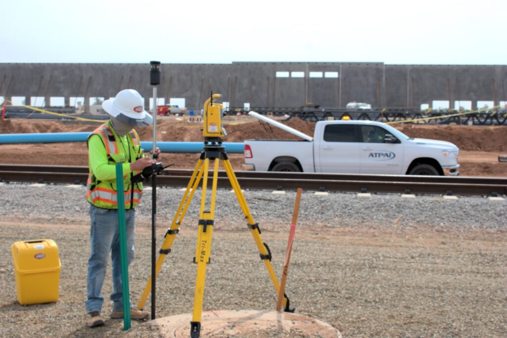
No matter the scope of your land surveying needs, our team has the expertise and experience to deliver accurate results—on time and within budget. We collect and analyze survey information on both natural and man-made features of the land, including its elevations. By combining proven methodologies, highly skilled professionals, and state-of-the-art technology, we ensure thorough data analysis and valuable land surveying outcomes.

Our comprehensive land surveying services include:
- Geodetic Network Establishment
- Boundary Surveys
- Aerial Mapping
- 3D Topographic Surveys
- Lot Splits and Lot Combinations
- Minor Land Divisions
- Subdivision Plats
- Title Search and Research
- ALTA/NSPS Land Title Surveys
- Solar Farm Surveys
- Drone Surveys
- LiDAR Survey Acquisition
- Terrestrial Scanning Surveys
With a strong presence in Arizona, licensing in multiple states across the U.S., and the highly sought-after Certified Federal Surveyor (CFedS) designation, we provide unmatched expertise in handling projects on federal and tribal lands. Our team includes 4 Professional Land Surveyors, 20+ draftsmen, 10+ field crews, and a dedicated GIS department, surveying over 1,000 miles of roadways and more than 2,000 PLSS monuments annually.
Equipped with cutting-edge Trimble technology, our crews are capable of tackling even the most challenging terrains to gather the precise data you need. Backed by in-house expertise and advanced tools such as Civil 3D/AutoCAD Map, Trimble Business Center, QGIS, and other GIS software, we ensure timely and accurate results—every time.
Insurance
A Team is fully insured. We carry general liability and commercial auto insurance. All our equipment is also fully insured, giving you peace of mind when contracting with us for your next building project.
Associations & Memberships
- Arizona Professional Land Survey Society
- NSPS
PROFESSIONAL CREDENTIALS
- Stone E. Wahl:
- Professional Land Surveyor – State of Arizona #28237
- Dane Bumpus:
- Professional Land Surveyor – State of Arizona #45204
